Generic Coordinates
If there are no geocoordinates in a network, generic coordinates can be created. There are two possibilities:
- igraph (http:/igraph.org/python) (recommended) based on
python-igraph
pycairo
- graphviz (http:/www.graphviz.org) based on
networkx
graphviz
To avoid having to compile C libraries, precompiled wheels are available on https://www.lfd.uci.edu/%7Egohlke/pythonlibs/ (unofficial)
Generically created geocoordinates can then be plotted in the same way as real geocoordinates.
Example plot with mv_oberrhein network from the pandapower.networks package as geographical plan (respect_switches=False):
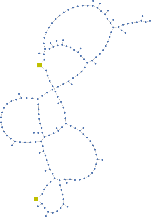
and as structural plan (respect_switches=True):
